The Coulée Verte: From Bastille to the Forest of Sénart
The Coulée Verte: From Bastille to the Forest of Sénart
Forty-five kilometres. That’s the distance separating the Viaduc des Arts, in the heart of Paris’s 12th arrondissement, from the forest of Sénart, to the south of Île-de-France. A near-continuous green corridor, perfect for a grand Sunday ride or the start of a cycling weekend. The Coulée Verte René-Dumont — a former railway line converted into an urban promenade — is one of the lesser-known gems of cycling in the Greater Paris area.
Samir K. rode it from end to end. Here’s his road journal.
Kilometre Zero: the Viaduc des Arts, 12th Arrondissement
We begin beneath the arcades of the Viaduc des Arts, on avenue Daumesnil. The address is well known to lovers of design and craftsmanship: dozens of galleries and workshops are installed under the arches of this 19th-century red-brick viaduct. But for us, it’s what’s above that matters.
We climb the staircase on the Bastille side — there are several along the route — and find ourselves on a raised walkway, four metres above street level, planted with rose bushes, lavender and clipped shrubs. The city flows past below. It’s almost magical. A bit like slipping through Paris unnoticed, without traffic lights, without taxis.
This viaduct section runs for 1.5 km, as far as the rue de Reuilly. It’s the most spectacular stretch, and also the busiest — walkers, pushchairs, joggers. Ride gently and respect pedestrians. This is not a speed track.
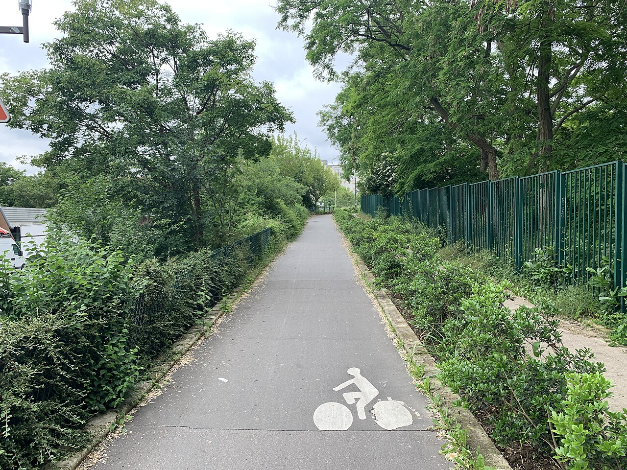
In the Cutting: From Reuilly to the Boulevard Périphérique
Beyond the rue de Reuilly, the Coulée Verte drops down into a cutting. The atmosphere changes completely. You plunge below street level, between stone walls draped in ivy. It’s shadier, sometimes damp in winter, but utterly peaceful. You cross the 12th arrondissement this way until reaching the Porte de Charenton, where the promenade leaves Paris and enters the Val-de-Marne département.
This stretch is less well known to tourists. You mainly encounter local residents, lycra-clad cyclists and a few secondary-school pupils on bikes. The atmosphere is authentically Parisian — far from the tourist circuits.
Tip: On weekdays, the cutting can get slightly congested around the rue Michel Bizot. Patience.
The Junction with the Val-de-Marne Greenway
This is the key transition of the route. At the Porte de Charenton, the Parisian Coulée Verte meets the Val-de-Marne greenway (voie verte), which extends the journey southward to Sucy-en-Brie and beyond. Signage is present, but sometimes subtle — keep your GPS app to hand.
You then pass through several communes: Saint-Mandé, Vincennes, Fontenay-sous-Bois, before skirting the banks of the Marne. The landscape gradually transforms. Haussmann-era apartment buildings give way to detached houses, then to wooded areas. The deeper Île-de-France begins to appear.
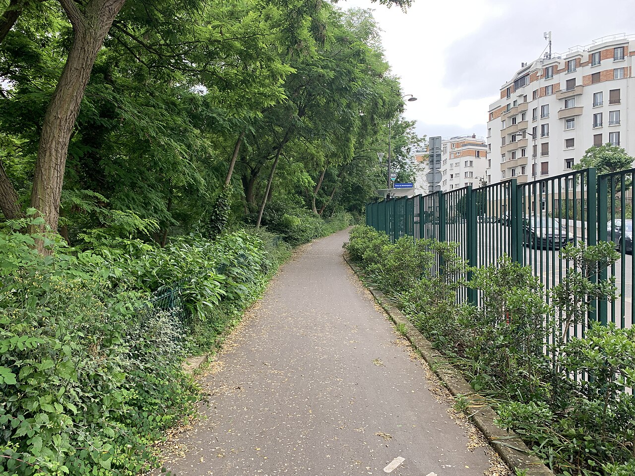
The greenway is excellent for the majority of the route: smooth tarmac, decent waymarking, no motor traffic. Proper quality cycling.
Sections to Avoid and Road Alternatives
Let’s be honest: the route is not flawless from start to finish. There are a few sections where the cycling continuity breaks down, notably:
- Around Croissy-Beaubourg, between roughly km 28 and km 32: the greenway is interrupted and you must use minor roads. Traffic is moderate but present. Stay alert and signal your changes of direction.
- On the approach to Combs-la-Ville, signage can be lacking. Download the route to Komoot or Strava before setting off — it will save you unnecessary detours.
These gaps in the route are well known to local cycling associations and are the subject of improvement requests to the local authorities. One to watch.
Refreshment Along the Way: Bakeries and Markets
A 45 km outing requires preparation — and re-fuelling en route. The good news: the route passes through several villages and markets.
- Vincennes: the rue de Fontenay offers several bakeries and a delicatessen. The Vincennes market is held on Tuesday and Friday mornings — if you set off early on a market day, take the opportunity to stock up on provisions.
- Sucy-en-Brie: a charming village with a well-stocked artisan bakery. The morning croissants are something of a local legend.
- Combs-la-Ville: the largest town on the route, with an out-of-town shopping centre and a few restaurants for a well-earned break.
Samir’s tip: always carry your own water and an energy bar. Refreshment stops are a pleasure, but you never know if the local shop will be open on a Sunday morning.
Arriving at the Forest of Sénart
After roughly 45 km and between two and a half to three and a half hours of pedalling depending on your pace, you enter the regional forest of Sénart — 3,200 hectares of oaks and hornbeams managed by the Île-de-France Region. An exceptional green lung, criss-crossed by dozens of waymarked paths.
The contrast with the departure point, in the heart of Paris, is striking. You have left the asphalt of the boulevards for silent woodland. This is one of the most powerful effects of this route: feeling the city dissolve gradually, kilometre by kilometre, until the near-complete silence of the forest.
Several picnic areas are laid out at the forest entrance. It’s the ideal spot to catch your breath, eat, and appreciate the journey you’ve made.
Returning by RER D with Your Bike
There’s no need to ride the 45 km back in the other direction — unless you’re that sort of person. For everyone else, the RER D is the answer. The Lieusaint - Moissy station is approximately 3 km from the main entrance to the forest of Sénart, heading north-east.
The RER D allows bicycles free of charge, except during peak hours (7–9am and 4:30–7pm on weekdays). At weekends, bikes travel free all day. Allow roughly 45 minutes to reach Gare de Lyon, then Châtelet-Les Halles if needed.
Important: bikes must be transported in the designated carriage, usually at the front or rear of the train. In summer, this carriage can be packed — arrive at the platform early.
Check timetables on the official Transilien website before setting off, particularly at weekends and on public holidays when engineering works may affect services.
Planning Your Ride: Practical Tips
A few things to sort out before you pedal:
Your bike: A city bike or gravel bike is perfectly suited. A mountain bike is unnecessary — there’s no significant elevation gain. A road bike works too, but the occasional minor-road sections may be uncomfortable on very narrow tyres.
The weather: Check the forecast the evening before. The cutting can be slippery after rain. And 45 km in driving rain is heroic but hardly essential.
Navigation: Download the route offline on Komoot (search for “Coulée Verte - Sénart”) or on the Maps.me app. Should you lose signal in the forest, you won’t be lost.
Kit: Helmet obviously, lights if you’re setting off early, a basic repair kit (tyre levers, inner tube, pump). And a lightweight jacket — the forest can be cool even in summer.
Conclusion: 45 km of Freedom
The Coulée Verte René-Dumont is not a perfect route in the technical sense. It has its gaps, its rough patches, its less attractive sections. But it has something that few cycling routes in Île-de-France can offer: a narrative continuity. You set off from the dense city, cross the suburbs, follow the banks of the Marne, and arrive in an ancient forest. All by bike, without ever really getting into a car.
It’s a ride that tells a story. And that, is rare.
— Samir K.